
Road Trip Through the Southwest: Planning a Loop Through Utah, Arizona, and Nevada

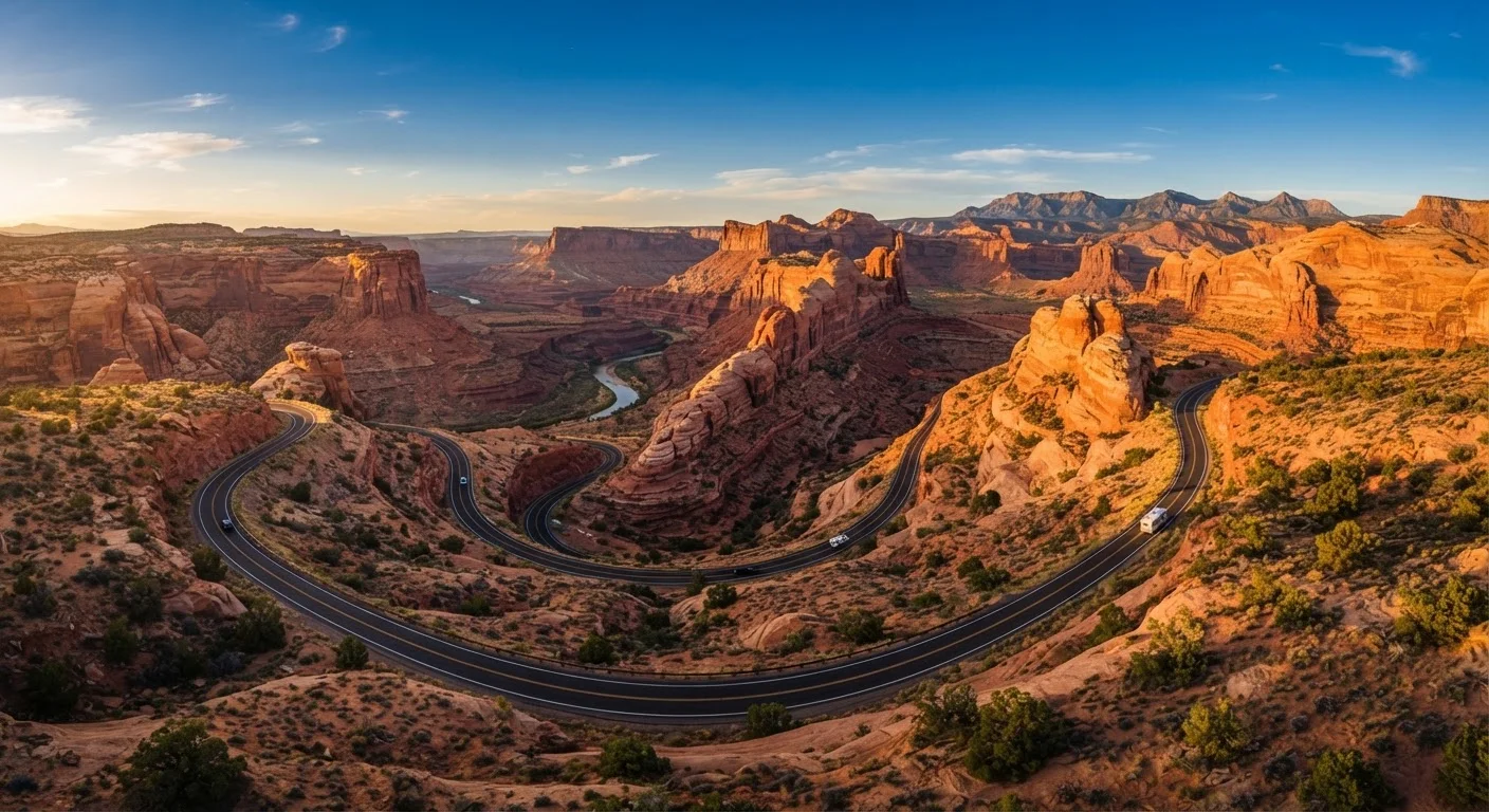
Photo: FaqsBay.com | Trending Blogs, Top Genres editorial
Key Takeaways
- A Utah-Arizona-Nevada loop covers roughly 1,200–1,500 miles depending on stops chosen.
- Spring and fall offer the most comfortable driving temperatures; summer heat in canyon country can be extreme.
- Advance reservations for campsites and lodging inside national parks are strongly recommended.
- A National Parks pass can provide significant savings if visiting three or more fee-charging parks.
- Cell service is sparse across much of the route — offline maps and paper backups are practical necessities.
- Allow at least 10–14 days to experience the highlights without feeling rushed.
Why the Southwest Loop Delivers
Few driving routes in the United States pack the visual variety of a Utah-Arizona-Nevada loop. Within a few days you can move from the red-walled slot canyons of Zion to the alien hoodoo forests of Bryce Canyon, the vast mesa country of Monument Valley, and the incomprehensible depth of the Grand Canyon — all connected by manageable highway miles. For a deeper look at what makes a driving route genuinely worth your time, see our guide to America's most scenic drives.
This isn't just scenery for scenery's sake. The Southwest loop threads through some of the most accessible wilderness in North America, where a paved parking lot can put you ten steps from an ancient canyon rim. The national park system and road travel are deeply intertwined here — the parks were often designed with the car-touring visitor in mind, which means even a first-time visitor can experience extraordinary landscapes without technical outdoor skills.
Heat Safety in Canyon Country
Timing, Tools, and What to Expect
Spring (March–May) and fall (September–October) are widely considered the most comfortable seasons. Temperatures are moderate, crowds at national parks are manageable compared to peak summer, and the light for photography is exceptional. Summer remains popular — schools are out — but triple-digit heat in the canyon country demands serious preparation. Winter travel is possible and offers uncrowded parks, but some higher-elevation roads at Bryce Canyon may close due to snow, so verify conditions ahead of time.
What you will need
If this is your first major domestic road trip, the first-timer's complete road trip overview covers foundational planning concepts that apply directly here. And if you've been putting off a trip like this because it seems complicated or expensive, the road trip myths guide addresses the most common hesitations head-on.
Download Offline Maps Before Leaving Cell Range
For a comprehensive framework that covers every stage of planning and executing a long US road trip, the end-to-end road trip planning resource is an excellent companion to the steps below.
Verify Entry Requirements Before You Go
The content provided on our blog site traverses numerous categories, offering readers valuable and practical information. Readers can use the editorial team’s research and data to gain more insights into their topics of interest. However, they are requested not to treat the articles as conclusive. The website team cannot be held responsible for differences in data or inaccuracies found across other platforms. Please also note that the site might also miss out on various schemes and offers available that the readers may find more beneficial than the ones we cover.